If you picture lazy evenings on the porch watching boats slide by and weekends on the water, you’re already halfway to understanding riverfront life in Decatur. You also know there’s more to it than a pretty view. You want the real story on neighborhoods, boating access, flood zones and day-to-day living before you buy. This guide walks you through what riverfront living in Decatur actually looks like so you can move forward with clarity. Let’s dive in.
Why Decatur’s riverfront draws you in
Decatur sits on the Tennessee River, specifically the Wheeler Lake impoundment. The river is both a recreation playground and a working waterway. Water levels and generation releases are managed by the Tennessee Valley Authority, and you can check current conditions on the TVA’s Wheeler Lake page for practical planning and boating safety. TVA’s Wheeler Lake levels and releases are worth bookmarking if you expect to be on the water often.
The Tennessee River in daily life
You’ll see everything from kayaks and bass boats to commercial tows moving through the system. That mix gives Decatur its energy and also shapes the experience along the shoreline. It means you may hear boat engines at times, see wakes that change with traffic, and learn to plan around lock schedules if you travel long distances on the river. Many residents come to appreciate the rhythm of a real working river.
Parks, festivals and trails
Living near the river gives you fast access to green space and seasonal events. Point Mallard Park is a local favorite with a waterpark, golf, trails and a campground, plus a full calendar of community festivals. Explore the facilities and events on the Point Mallard Park site. For wildlife, the Wheeler National Wildlife Refuge lines the river with protected wetlands, birdwatching, hunting and fishing access that feel worlds away, yet sit right next to town.
Where people actually live on the river
You have options, from walkable historic streets to lakefront coves with room for a dock. Each area trades off convenience, home style and water access differently.
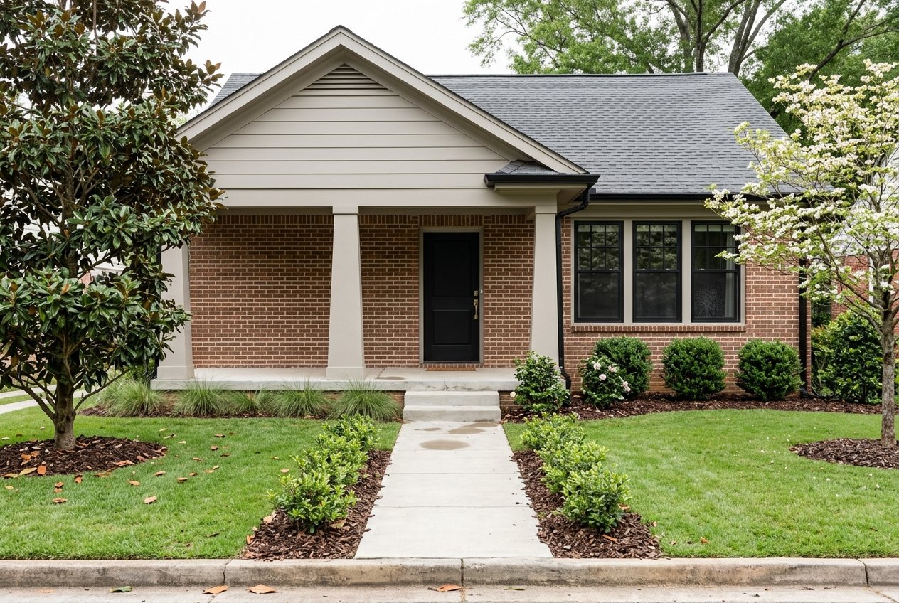
Old Decatur and Bank Street
Old Decatur is the historic downtown and classic riverfront neighborhood. Picture late 19th to early 20th century streetscapes, brick commercial fronts and nearby Victorian, Italianate and Craftsman-era homes. The area often delivers sidewalks, character properties and quick access to the riverwalk and downtown amenities. Learn more about the district’s history on the Old Decatur Historic District page.
Downtown riverfront band
Several blocks along the river and around downtown offer small-lot living near restaurants, events and the riverwalk. Housing here can include renovated historic homes, townhomes and occasional infill. Buyers who want to trade lawn size for walkability often start their search in this compact zone. Market dynamics can differ from the broader city, so ask your agent for neighborhood-level comps rather than relying on a single city median.
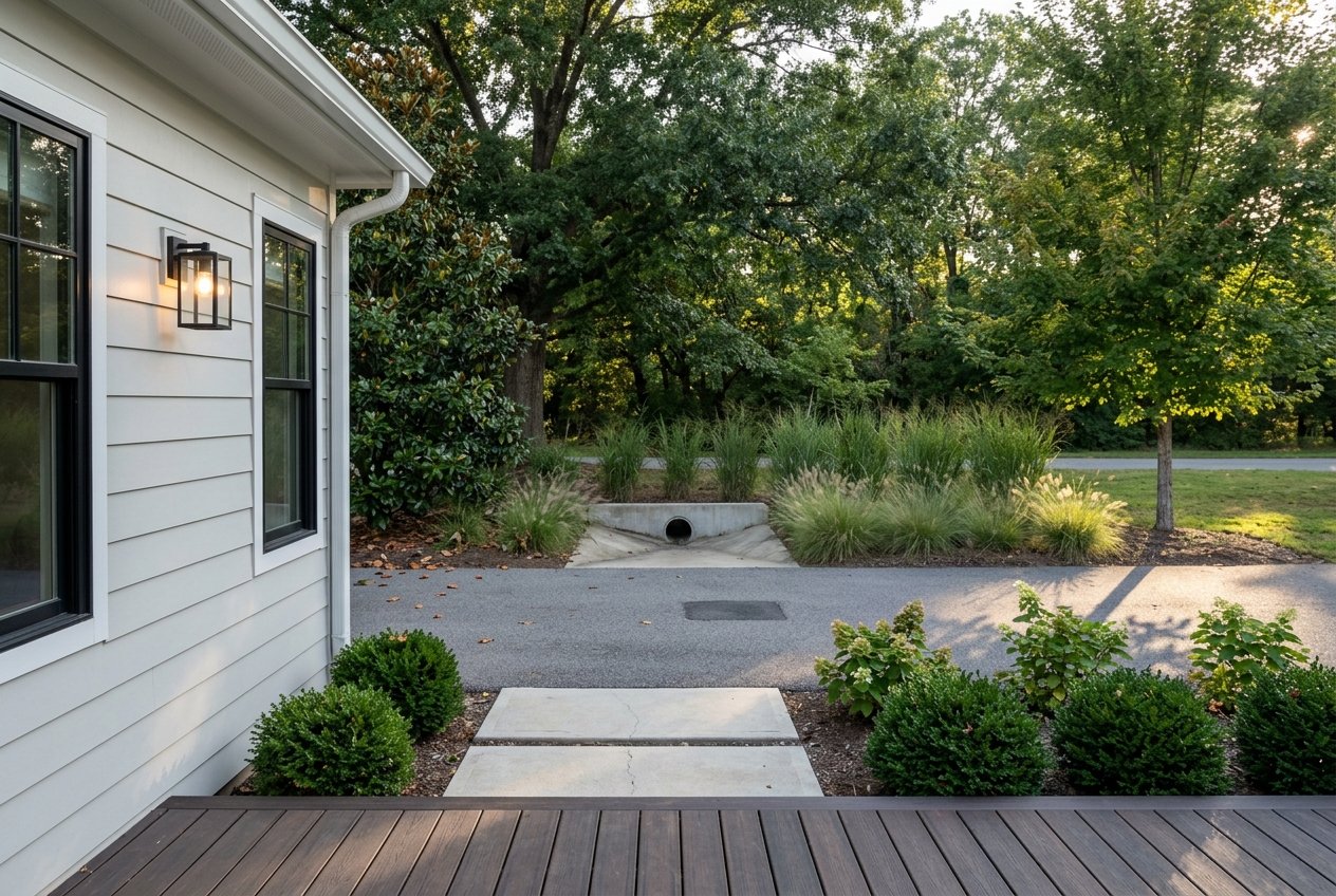
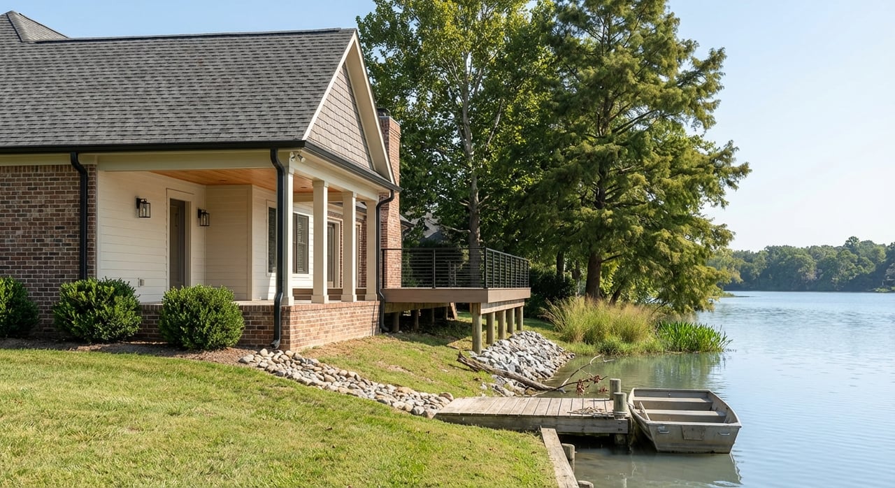
Wheeler Lake and resort-adjacent coves
Beyond downtown, you’ll find lakefront homes and cottage clusters along Wheeler Lake and near Joe Wheeler State Park. Expect a mix of modest older cottages, renovated mid-century homes and custom builds on larger lots. These spots can offer private docks where allowed and a resort-like feel with marinas nearby. If dock rights, water depth and cove orientation matter to you, plan a few scouting trips during different seasons to see conditions firsthand.
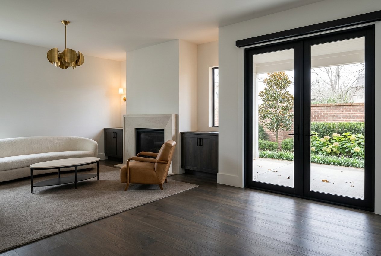
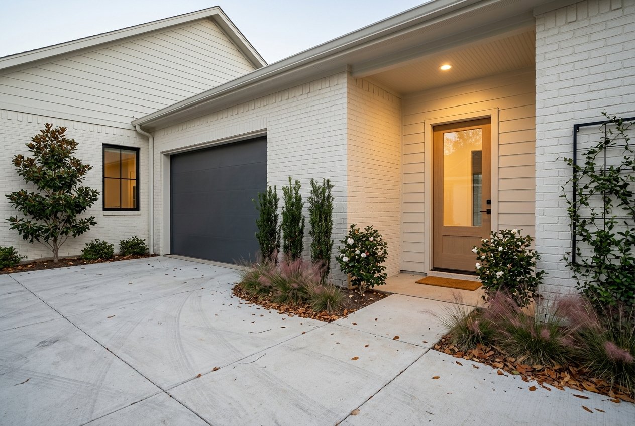
Home types and pricing reality
“Riverfront” in Decatur covers a wide range. You will see smaller cottages renovated for the view, mid-sized homes that back to the water, and custom builds with private docks where permitted. Properties with immediate water access and strong views usually command a premium over similar inland homes. The exact difference depends on lot position, shoreline rights, depth, views and condition.
Recent market snapshots on national portals show Decatur’s overall median values in the low to mid 200s. Neighborhood medians can sit above or below that baseline, especially in historic districts or on prime shoreline. The takeaway is simple. Compare by micro-location. Ask for comps tailored to Old Decatur, the downtown riverfront band or a specific Wheeler Lake cove rather than leaning on a single city number.
Boating, marinas and water levels
Not every river-adjacent home has a private dock. Many residents keep boats in a slip or launch from public ramps. Riverwalk Marina and several public facilities near Decatur serve Wheeler Lake. Slip availability, services and fees change, so verify details directly. You can start with the Riverwalk Marina listing, then call ahead to confirm capacity.
Water levels fluctuate with TVA operations and seasonal patterns. Check TVA’s Wheeler Lake levels and releases before weekend plans and during stormy stretches. If you plan to trailer a boat, visit ramps at the time of day you would actually launch to get a feel for traffic and parking.
Flood zones, insurance and permits
Proximity to water is part of the appeal. It also adds steps to your due diligence. Here’s the simplest, most practical way to approach it.
Step 1: Check your flood zone
Use FEMA’s Flood Map Service Center to look up any address. Download the effective FIRM panel, note the zone and save any Letters of Map Change on file. If a home is in a Special Flood Hazard Area, a federally backed lender will typically require flood insurance. Start with FEMA’s Map Service Center early in your search.
Step 2: Understand map changes
Sometimes a lot is mapped conservatively. In other cases, an elevation survey or improvements may support a change. FEMA outlines the official processes to correct or revise a flood designation, including LOMA, LOMR-F and LOMR. Review the agency’s guidance on how to change a flood zone if you see a mismatch between reality and the map.
Step 3: Get insurance quotes early
Flood insurance is available in many areas regardless of zone, but it is typically required in SFHAs when you use a federally backed mortgage. Policies have different deductibles, coverages and waiting periods, so request quotes as soon as a property interests you. The National Flood Insurance Program explains basics and connects you to agents at FloodSmart.gov.
Step 4: Tap local hazard info
Local context matters. Reach out to the Morgan County EMA and local planning offices to ask about historic flooding records, mitigation projects and community map repositories. Start with the Morgan County EMA to learn what resources are available.
Commute, employers and logistics
Many residents choose Decatur for river access and a balanced cost of living, then commute to jobs across North Alabama. A typical drive to Huntsville runs roughly 30 to 40 minutes depending on your starting point and the time of day. You can sanity check the trip with this Decatur to Huntsville driving-time estimate. Within Decatur, the river supports a strong industrial base. That mix of residential and industrial land uses is part of the city’s character, especially close to the port.
Pros and cons at a glance
Pros
- Direct access to paddling, fishing, boating and birding through Point Mallard Park and the Wheeler National Wildlife Refuge.
- A visible downtown scene with Bank Street, the Carnegie Visual Arts Center and the Cook Museum that makes riverside life social and walkable.
- Generally more attainable home prices than larger Sun Belt metros, with the potential to find waterfront-adjacent value if you target the right micro-location.
Potential tradeoffs
- Flood-zone exposure and added cost for NFIP or private flood insurance in certain areas.
- Active navigation and an industrial presence are part of living on a working river, which can include barge traffic and occasional noise.
- Seasonal slip demand and limited marina capacity. Do not assume a private slip or nearby slip will be available with every home.
Your next steps for a smooth search
Follow a simple process to avoid surprises and keep your options open.
- Before touring: Run any address through FEMA’s Flood Map Service Center. Note the FIRM panel and zone, and ask the city or county for any elevation certificates or Letters of Map Change on file.
- Ask the listing side: Does the home have an Elevation Certificate, LOMA or LOMR, any previous flood claims or recorded floodproofing? If it sits in an SFHA, get a quote from FloodSmart.gov early.
- For boaters: Verify marina or launch access and slip availability. Start with Riverwalk Marina details and call for current capacity. Visit at your typical boating time.
- See it in different seasons: Check the property during higher flow and lower flow periods. Ask neighbors about high-water history and busy boating windows.
- Compare by neighborhood: Request comps specific to Old Decatur, the downtown riverfront band or a chosen Wheeler Lake cove. Micro-location drives value on the water.
When you are ready to explore homes, you deserve a local guide who understands flood maps, boat logistics and the rhythm of a working river. If you want hands-on help with showings, due diligence and negotiations, connect with the veteran-led team at Stallworth Real Estate, LLC to get started.
FAQs
What does “riverfront living in Decatur” really include?
- It ranges from historic homes near the riverwalk to lakefront cottages and custom builds on Wheeler Lake, with lifestyle perks like parks, festivals and boating access.
How do I check a Decatur home’s flood risk before I tour?
- Look up the address on FEMA’s Map Service Center, note the flood zone and ask the city or county for elevation certificates or Letters of Map Change.
Can I have a private dock on Wheeler Lake in Decatur?
- It depends on shoreline location, permits and water depth. Many owners use public ramps or marina slips, so verify dock rights and marina capacity early.
How long is the commute from Decatur to Huntsville job centers?
- The drive typically runs about 30 to 40 minutes depending on origin and traffic, which aligns with this Decatur to Huntsville estimate.
Where can I keep a boat if my Decatur home lacks a dock?
- Check local marinas and public ramps. Start with Riverwalk Marina and confirm slip availability, services and fees.
What are the best resources to track water levels and plan boating?
- Use TVA’s Wheeler Lake levels and releases for real-time water conditions and Point Mallard Park for local recreation updates.